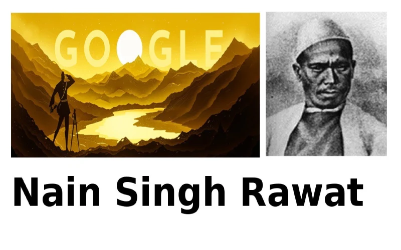
Nain Singh Rawat: Who added the geography of Tibet to the world map
6 min read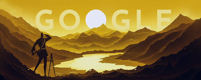
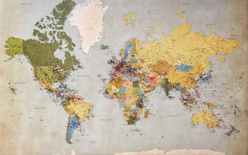
In the 19th century, a remarkable explorer named Nain Singh Rawat made history by becoming the first person to map out the geography of Tibet. He was part of an intrepid group of surveyors who navigated treacherous terrain and difficult climates in order to document the unknown features of this mysterious land. In this article, we will explore his story and his incredible achievements in detail.
Table of Contents
Introduction to Nain Singh Rawat
Nain Singh Rawat was a surveyor and explorer who made significant contributions to the mapping of Tibet and the surrounding region in the late 19th century. He was born in a village in the Kumaon region of India and was hired by the Survey of India to assist in the Great Trigonometric Survey, a project to measure and map the entire Indian subcontinent.
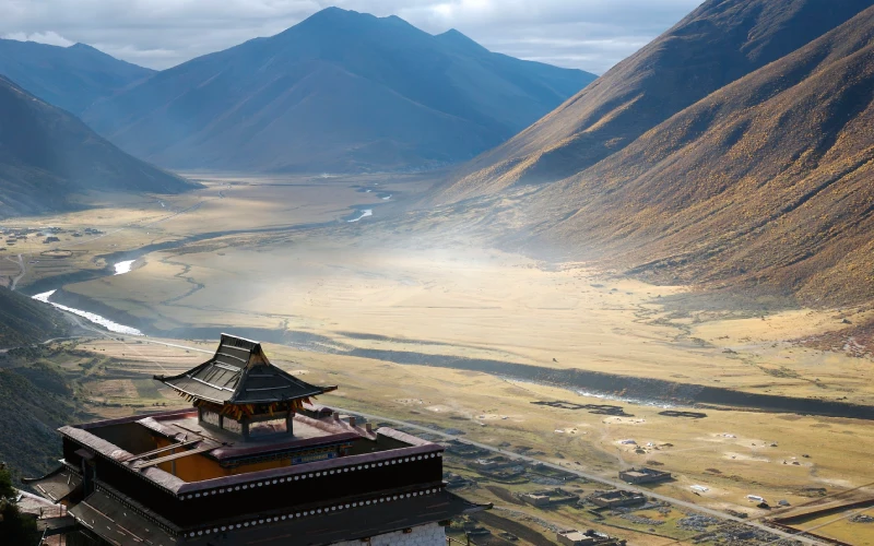
As part of this survey, Rawat was sent to Tibet in 1864 to gather information about the geography and resources of the region. He traveled extensively throughout Tibet, disguising himself as a Tibetan monk and using a combination of traditional surveying techniques and local knowledge to map the region. He was the first to accurately measure the heights of many of the major mountain ranges in Tibet, including the Himalayas.
Rawat’s work was instrumental in adding the geography of Tibet to the world map and helped to increase understanding of the region. He is remembered as a pioneer in the field of exploration and survey and his contributions continue to be recognized today.
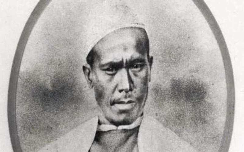
Renowned scholar and author Sir Henry Yule said this when Rawat was awarded his special medal by the London-based Royal Geographical Society (RGS) in 1868 to the great explorer, surveyor, and cartographer Nain Singh. He did not say these words in praise of an ordinary survey worker of colonial India. What Nain Singh did was an extraordinary example of human courage and always will be.
In the early 19th century, the British started the Great Trigonometric Survey (GTS) in the Indian subcontinent. Under this, maps of all Indian land were to be made by modern methods.
The Importance of Nain Singh Rawat
Nain Singh Rawat was an important figure in the history of exploration and survey due to his contributions to the mapping of Tibet and the surrounding region. His work helped to increase knowledge and understanding of the geography of Tibet, which was a largely unknown and isolated region at the time.
In addition, Rawat’s efforts played a role in establishing the Survey of India as a leading organization in the field of exploration and survey. His work helped to establish the Survey of India as a reputable and reliable source of information about the geography of the region, and his legacy continues to be recognized today.
Furthermore, Rawat’s contributions to the mapping of Tibet had wider implications for the study of geography and the understanding of the world. His work helped to add to the global understanding of the geography of Asia and helped to establish many of the features of the region that are recognized today.
Overall, Nain Singh Rawat’s contributions to the mapping of Tibet were significant and continue to be recognized as an important part of the history of exploration and survey.
Early life and education

Nain Singh Rawat was born in 1830 in the village of Milam in Uttarakhand, India. His father, Hari Singh Rawat, was a farmer and his mother, Kunti Devi, was a homemaker. Nain Singh had six siblings: three brothers and three sisters. Growing up, he attended the local school where he learned to read and write Hindi. He also developed a love for the outdoors and would often go on hikes with his friends.
In 1846, at the age of 16, Nain Singh joined the British Army as a soldier. He served for four years before being discharged. After leaving the army, he returned to Milam and married his wife, Lakshmi Devi. The couple had five children together.
In 1855, Nain Singh began working as a porter for the British surveyor Sir George Everest. He would carry supplies and equipment for Everest as he surveyed the Himalayan mountain range. In 1860, Everest appointed Nain Singh as his personal assistant and tasked him with finding the source of the Ganges River. The following year, Nain Singh became the first person to map out the entire Tibetan Plateau.
His work was essential in helping the British gain a better understanding of Tibet and its geographical features. Nain Singh continued to work as a surveyor until his retirement in 1885. He passed away in 1895 at the age of 65.
First Expedition to Tibet
In 1865, Nain Singh Rawat became the first person from the Indian subcontinent to complete a circuit of Tibet. This was no small feat, as at the time Tibet was largely unknown and many of its geographical features were unrecorded. Nain Singh’s journey changed that, as he documented everything he saw in meticulous detail.
Nain Singh’s expedition was sponsored by the British government, who were keen to learn more about their Chinese neighbors. Nain Singh set out from Darjeeling in March 1865, posing as a Tibetan pilgrim. He traveled north through Sikkim and into Tibet, documenting the landscape and people he encountered along the way.
After crossing into Tibet, Nain Singh headed westwards towards Lhasa. This was the most dangerous part of his journey, as he had to avoid detection by the Chinese authorities who were not keen on foreigners entering their country. Nain Singh succeeded in reaching Lhasa undetected and spent several months there observing and mapping the city.
From Lhasa, Nain Singh headed southwards towards Nepal. Once again, he had to be careful to avoid detection by the Chinese authorities. He eventually reached Nepal safely, and his expedition came to an end.
Nain Singh’s expedition was an important achievement, as it allowed mapmakers to finally start putting together an accurate map of Tibet. His detailed observations also helped to shed light on Tibetan culture and society for Westerners.
Second Expedition to Tibet

Nain Singh Rawat was a pioneering explorer and surveyor who made significant contributions to the Great Trigonometric Survey of India in the 19th century. He was born in a village in the Kumaun region of the Himalayas and was recruited by the Survey of India as a “pundit,” or native explorer, in the 1860s. In 1865, Rawat embarked on his second expedition to Tibet as part of the Survey, during which he traveled from Lhasa to Lake Manasarovar and Mount Kailash, making detailed observations and measurements along the way. His efforts helped to produce the first accurate maps of this largely unknown region, and he is remembered as one of the first Westerners to explore and map Tibet.
He also discovered the origin of Sutlej and Indus. Nain Singh started a tradition of surveyors. After that, his cousins Kishan Singh, Kalyan Singh, etc. entered Tibet from different areas and gathered important geographical information. Based on these, Captain Mountgumery made an accurate map of Tibet
Third expedition to Tibet
In 1865, Nain Singh Rawat set out on his third expedition to Tibet. This time, he was tasked with mapping the route from Lhasa to Mount Kailash and Lake Manasarovar. Rawat disguised himself as a Tibetan pilgrim and set off on foot, accompanied by his trusted Sherpa guide, Kintup.
The journey was arduous, and Rawat had to contend with cold, altitude sickness, and difficult terrain. But he persevered, and after months of walking, he finally reached his destination. He became the first Westerner to map the complete route from Lhasa to Mount Kailash – a feat that earned him the title of ‘the Prince of Travellers’.
Conclusion
Nain Singh Rawat was a Nepali explorer who became the first person to map the geography of Tibet. He did this by disguising himself as a Tibetan monk and traveling throughout the country, making detailed observations and measurements. His work was instrumental in providing the British Raj with vital information about Tibet, which they used to great effect in their military campaigns against the Tibetan Empire. Rawat died in 1884, but his legacy lives on in the many maps and geographical studies that he produced.